DroneDeploy: Revolutionizing Reality Capture with Drones
Overview:
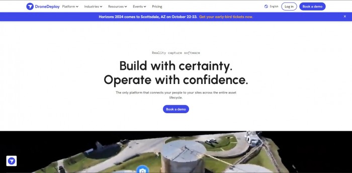
DroneDeploy is a leading platform for drone mapping and photo documentation. It provides a unified, automated, and intelligent solution for reality capture, connecting people to sites across the entire asset lifecycle. DroneDeploy supports data from drones, robots, 360 cameras, or smartphones, making it a versatile tool for various industries.
Users:
DroneDeploy is trusted by companies that power our world. It is used by construction, oil & gas, and renewable energy companies on a daily basis.
Goal:
The mission of DroneDeploy is to make the power of interactive digital twins accessible and productive for everyone. It aims to transform how businesses collect, manage, and interpret reality capture data from aerial drones, 360 cameras, and mobile ground robots.
Uses and Features:
- Flight Planning: Intuitive interface for easy mission planning.
- Real-Time Mapping: Live map of the area being surveyed as the drone captures images.
- Automated Image Capture: Automated process of capturing images by creating a flight path for the drone to follow.
- Data Analysis: Powerful servers in the cloud plan your flight, run safety checks, and analyze massive amounts of visual data.
- Unified Platform: Combines and analyzes data from all reality capture sources.
How it Works:
- Use DroneDeploy’s Flight app to create your first flight template.
- Launch your first flight.
- Process your first datasets.
- Automatically fly your drone and make aerial maps or 3D models.
- Analyze the data and track changes over time.
Customer Companies Statistics:
- Customer Companies are:- Juneau , Turner , BNSF Railway , sunrun , OXy , Layton , the nature , conservancy , corteva argriscience.
- It is used in more than 180 countries worldwide.
- It powers more than 1.7 million job sites and has mapped 310 million acres.
- The platform is trusted by users across a variety of industries.
